-
Photo: Mikkelsen, Ailo Aleksander / Grenselandmuseet ")
")
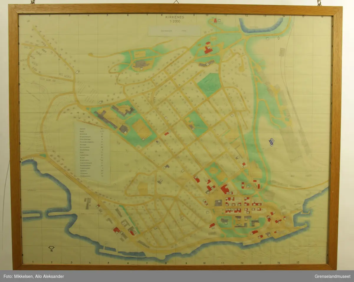
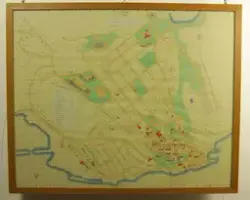
Kart over Kirkenes
Kart over Kirkenes by fra 1966 med med oversikt over sentrum, kvartaler, bebyggelse, A/S Sydvaranger industriområde og kaianlegg. Soldatbukta nede i venstre hjørne. A/S Sydvaranger ...


Add a comment or suggest edits
To publish a public comment on the object, select «Leave a comment». To send an inquiry directly to the museum, select «Send an inquiry».