Part of exhibition
History
-
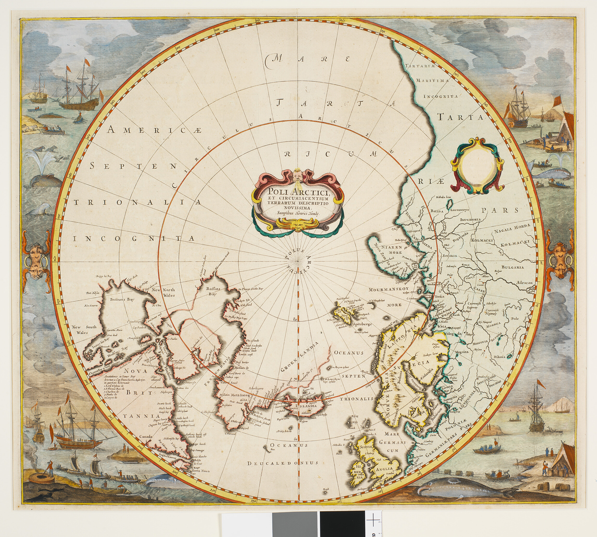
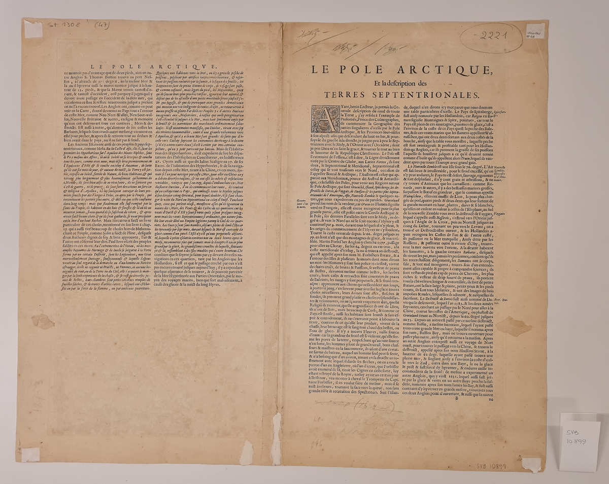
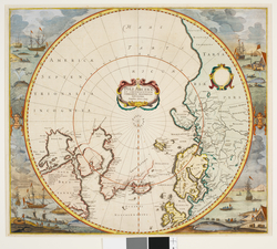
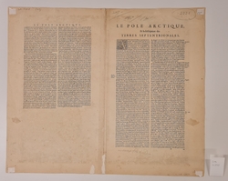
- Fargelagt kart over nordpolen og arktis og den nordlige halvkule. Illustrasjoner langs sidene viser hvalfangst. Kartet ble trykket og utviklet over flere år fra 1636 til 1715.
Produksjon: 1639
- ProdusentHondius, Hendriksikker
Eierskap: 1959 - 2000
- Tidligere eierVarming, Henrik
Aksesjon: 2007
- GiverLongyearbyen Lokalstyresikker
License information
- License Contact owner for more information
Metadata
- Identifier SVB 10899
- Part of collection Svalbard Museums samling
- Owner of collection Stiftelsen Svalbard museum
- Institution Svalbard museum
- Date published April 26, 2023
- Date updated August 1, 2025
- DIMU-CODE 0210213454142
- UUID bd987319-5df3-404e-936d-a7a5a5050457
- Tags
Add a comment or suggest edits
To publish a public comment on the object, select «Leave a comment». To send an inquiry directly to the museum, select «Send an inquiry».