For fellesopplysninger om utgravningen, se C58877.
For fellesopplysninger om gravfeltet, se C58879.
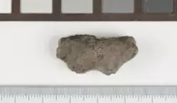
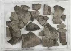
Det ble avdekket ca. 2385 m2 langs øst- og nordsiden av terrassen. Terrassen var naturlig avgrenset av skråninger ned mot elven i nord og øst, og av ovenliggende terrasse (med id 136684) i vest, mens den i sør var avgrenset av en stikkvei. I nordvest lå tykke dyrkningslag, ardspor og kokegroper. Langs den østlige brinken lå et gravfelt med 21 flatmarksgraver fra vikingtid og en fotgrøft (C58879-C58900), i tillegg til spredte stolpehull, groper og kokegroper. Den østlige brinken og strukturene langs den var i noen grad skadet av erosjon og trerøtter. C58901 omfatter alle funn som ikke relaterer seg til gravene på lokaliteten.