History
-
For fellesopplysninger om utgravningen, se C58877.
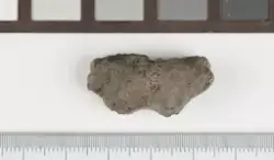
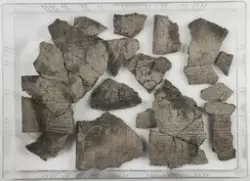
Om lag 670 m2 ble avdekket på lokaliteten, som var avgrenset av rv. 9 i vest, av en stikkvei i nord og nordøst, og av en svakt til steilt skrånende brink i øst og sør, som ledet ned til et bekkefar. Brinken og anleggene lags den var stedvis svært erodert. På lokaliteten ble det funnen kokegroper, stolpehull, groper og kulturlag. Omfattende forekomster av slagg tyder på at det kan dreie seg om en produksjonsplass.
Funnet: 2011
- FunnstedAgder Bygland Langeid, Øvre Id87
Periode
førromersk jernalder, romertid
Placement
References
-
- Kulturminnesøk136687
License information
- License Attrbution-ShareAlike (CC BY-SA)
Metadata
- IdentifierC58902.36
- Owner of collectionKulturhistorisk museum
- InstitutionKulturhistorisk museum, Universitetet i Oslo
- Date publishedOctober 27, 2022
- Date updatedOctober 27, 2022
- DIMU-CODE0210212318288
- UUID655c58f7-d473-4f6e-843c-b0543a494027
- Tags