History
-
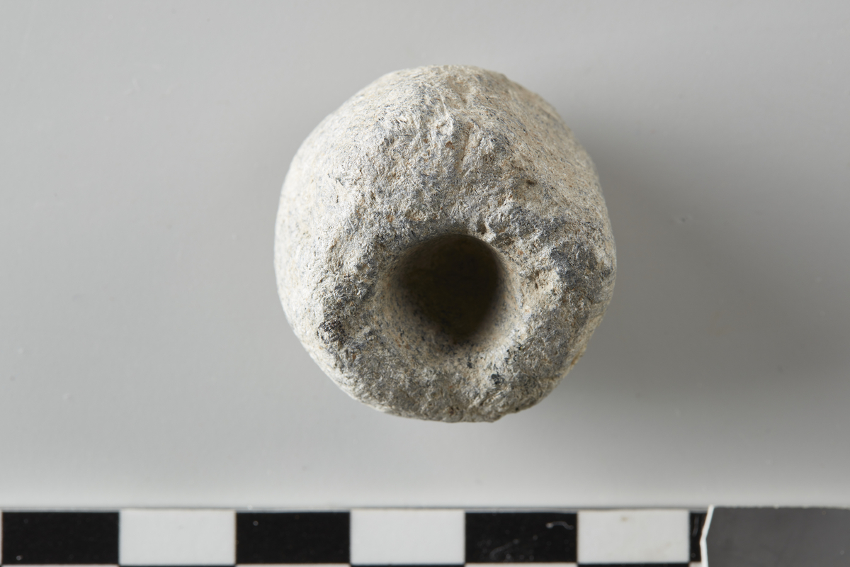
- Det ble påvist et kokegropfelt og andre strukturer. Utgravningsområdet ligger ca 185 m.o.h. i et kupert landskap. Kirken er synlig fra store deler av dalen. Den arkeologiske registrering av planområdet ble foretatt v/ Akershus fylkeskommune i 1997. Selve utgravningen foregikk i perioden 7. - 21 mai 2001. Denne besto i maskinell flateavdekking samt opprensning og snitting av de derved fremkomne strukturer. Alle strukturer ble dokumentert ved fotografering og/eller tegning både før og etter snitting.
Funnet: 1997
- FunnstedViken Nittedal Dal Nedre Kirkegårdsutvidelsen ved Nittedal kirke
- FunnstedViken Nittedal Dal Østre Kirkegårdsutvidelsen ved Nittedal kirke
Periode
steinalder, jernalder
References
-
- Kulturminnesøk60513
License information
- License Attrbution-ShareAlike (CC BY-SA)
Metadata
- IdentifierC52666.5
- Owner of collectionKulturhistorisk museum
- InstitutionKulturhistorisk museum, Universitetet i Oslo
- Date publishedOctober 26, 2022
- Date updatedOctober 26, 2022
- DIMU-CODE0210212278132
- UUID8ec133e5-06cd-4e22-9a8b-f440344b1f53
- Tags