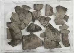
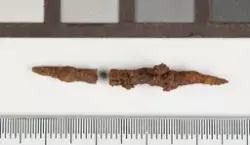
Boplassen ligger i N-kanten av et jorde, øverst i åkerkanten mot skogen nordenfor, 125-130 m o.h. Mot N skråner terrenget bratt oppover i stenet skog mot en bergkolle. Mot S heller terrenget (åkeren) relativt bratt S-over mot en nå gjenlagt bekk, og på den andre siden (S-siden) av bekken går det igjen oppover mot gårdstunet. Lokaliteten liggen 125-130 o.h. Åkeren lot i dette partiet til å bestå vesentlig av sandjord, mens den lenger oppe inneholdt mer grus og småstein og lenger ned hovedsakelig syntes å bestå av leire. I skogsmarka vokser blant annet furu og bjerk. Boplassen ble gravd i kvadrameterruter på vanlig måte. Det ble skilt mellom geologisk identifiserbare lag, men ikke mellom "mekaniske" lag. Massene ble i hovedsak tørrsåldet i 4x4 mm såld. Koordinatsystemet ble lagt noenlunde parallelt med åkerkanten. Det ble åpnet ca 13 ruter (13,25 kvadrameter) og ca 300 gjenstander ble gravet fram (C.52880). I tillegg ble enkelte funn ble samlet opp i nærheten av utgravningsfeltet (C.52881). Funn med sikre funnstedsopplysninger fra samme gård har fått følgende museumsnumre: C.39851, C.52646, C.52880, C.52881, C.53516 og C.53517.