Arkeologisk undersøkelse i regi av E6 prosjektet sommeren 2005 (lokalitet 10). Det undersøkte området lå på Raet som strekker seg gjennom Østfold. Det er del av et større slettelandskap som er sterkt preget av moderne jordbruksvirksomhet, og liggger fra 51-53 meter over havet. På Raet er det i dag en stor tetthet av spor etter aktiviteter i forhistorisk tid, og i området rundt lokalitet 10 er det særlig spor etter aktiviteter fra jernalder. Lokaliteten lå ved siden av et gravfelt hvor det ved flyfotografering er registrert spor etter ca. 25 gravhauger (ID 52383 I Askeladden).
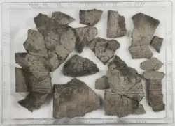
I løpet av undersøkelsen ble det registrert spor etter dyrkning (dyrkningslag (S-12013), rester av dyrkningslag og ardspor). Det ble også undersøkt 4 kokegoper (S-12011, S-12014, S-12161 og S-12090) i tillegg til kulturlagrester og groper med ukjent funksjon. I tillegg ble det registrert spor etter en sledevei fra middelalder eller nyere tid, og en dreneringsgrøft fra nyere tid.
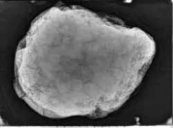
Det foreligger per dags dato en C14-datering av et korn fra gammel markoverflate under dyrkningslaget S-12013 som indikerer at det ble dyrket korn i området i yngre steinalder, mens to øvrige 14C-dateringer viser at to av kokegropene trolig ble anlagt i rometid.