Photo:
Wegge, Bjørn
/
Anno Musea i Nord-Østerdalen
(In Copyright)
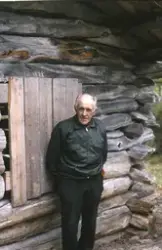
Burest under Kolla SØ
Kartref.: 26717.05234 (GPS) 1519 IV
Beliggenhet: Ved foten av en bratt skråning, omtrent 200 meter sørvest for kronrøysa i grensa mellom Oppdal og Hjerkinn utmål.
Dette må ha vært ...
Kartref.: 26717.05234 (GPS) 1519 IV
Beliggenhet: Ved foten av en bratt skråning, omtrent 200 meter sørvest for kronrøysa i grensa mellom Oppdal og Hjerkinn utmål.
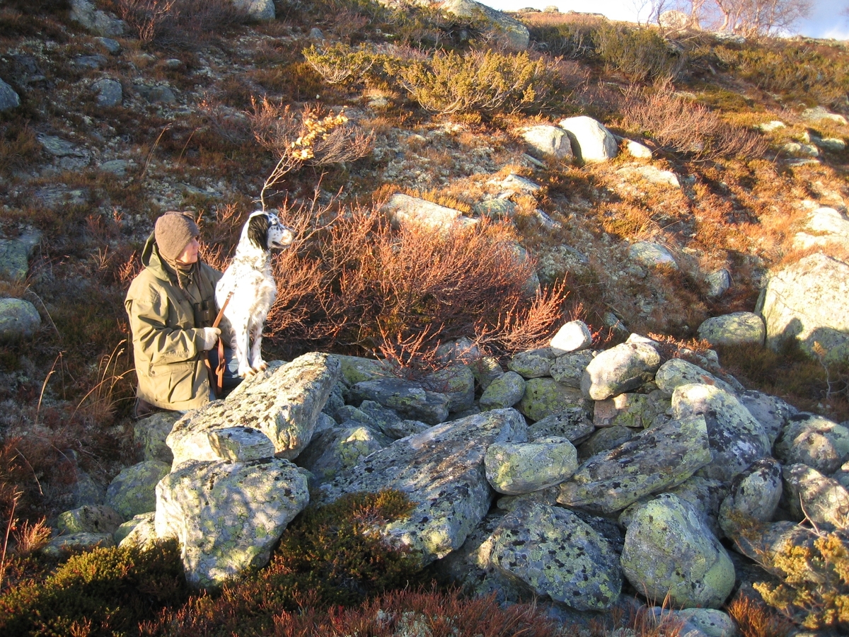
Dette må ha vært en ganske liten og primitiv bu. Den er sammenrast og er ca ½ meter dyp (kan ha vært dypere), ca 1,5 meter i diameter. Muret med runde morenesteiner. Ser ut til å være ganske gammel. Kan det ha vært et bogestille? Eller et primitivt gjemmested for reinsjegere?
Kilder: Buresten er omtalt i lista over bebyggelse innen skytefeltet.
Grete og jeg fant buresten den 2/11 2005.


Add a comment or suggest edits
To publish a public comment on the object, select «Leave a comment». To send an inquiry directly to the museum, select «Send an inquiry».