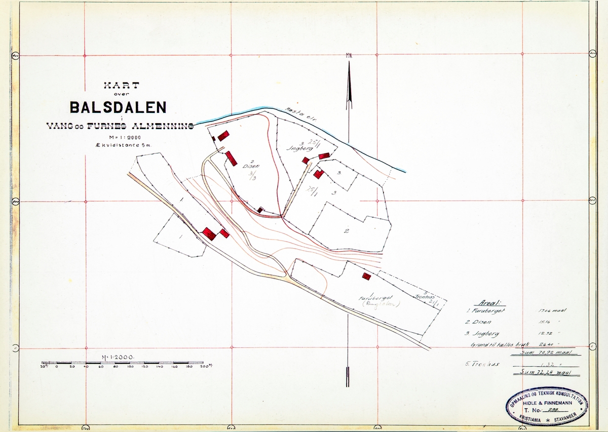
Kart over Balsdalen, Bolsdalen seter, Vang og Furnes Almenning. Furuberget, Disen, Ingeberg og Tronhus.
Kart over setre og setervoller i Vang Almenning oppmålt i 1918. Kommisjonen ...
Kart over Balsdalen, Bolsdalen seter, Vang og Furnes Almenning. Furuberget, Disen, Ingeberg og Tronhus.
Kart over setre og setervoller i Vang Almenning oppmålt i 1918. Kommisjonen som ble oppnevnt for å forestå delingen av Vang og Furnes Almenning, ble oppnevnt i 1914 og gjorde seg ferdig i 1919.
")


")
Add a comment or suggest edits
To publish a public comment on the object, select «Leave a comment». To send an inquiry directly to the museum, select «Send an inquiry».