Photo:
Norsk Teknisk Museum
/
Norsk Teknisk Museum
Photo:
Norsk Teknisk Museum
/
Norsk Teknisk Museum
Photo:
Norsk Teknisk Museum
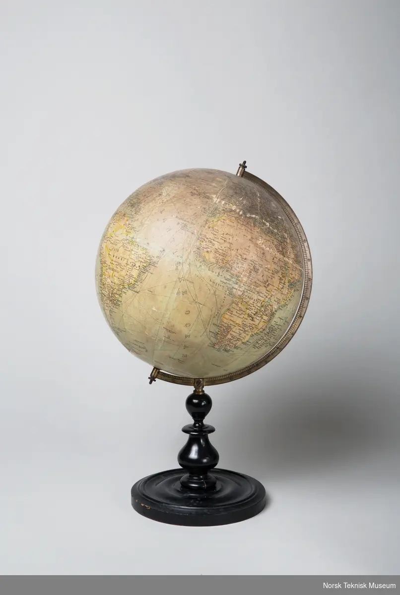
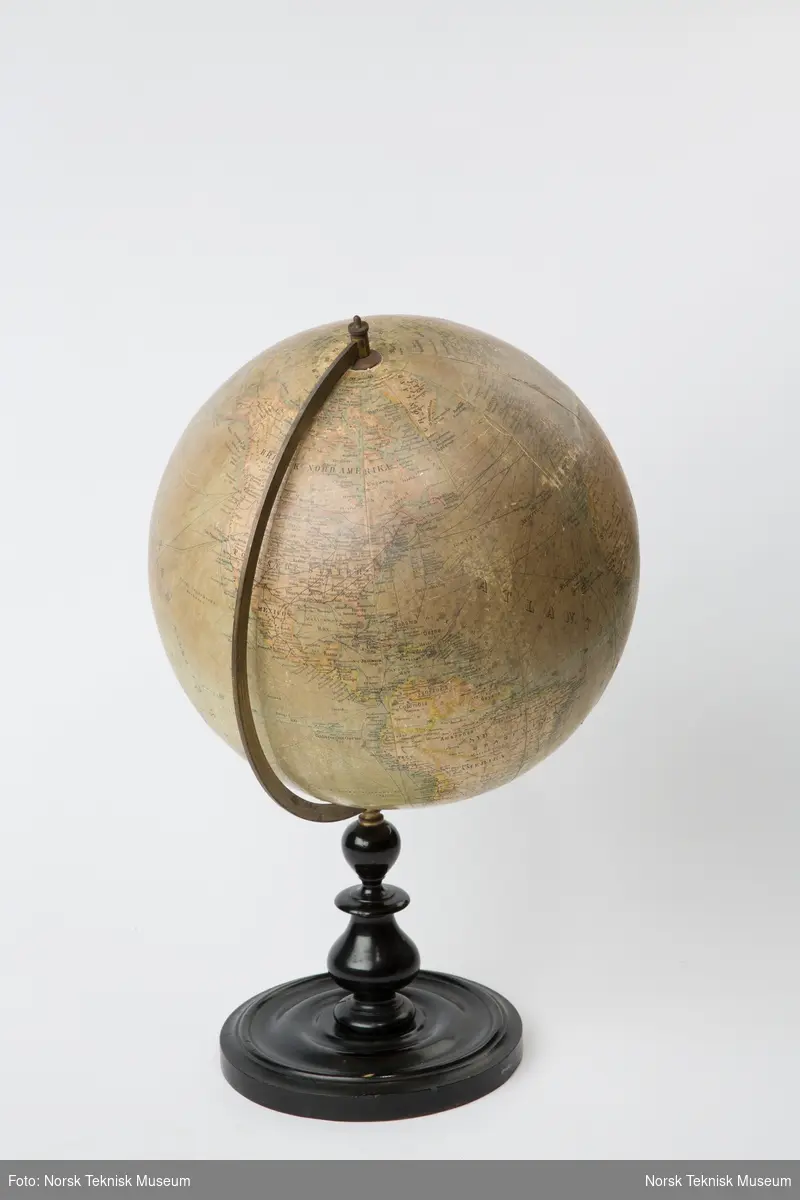
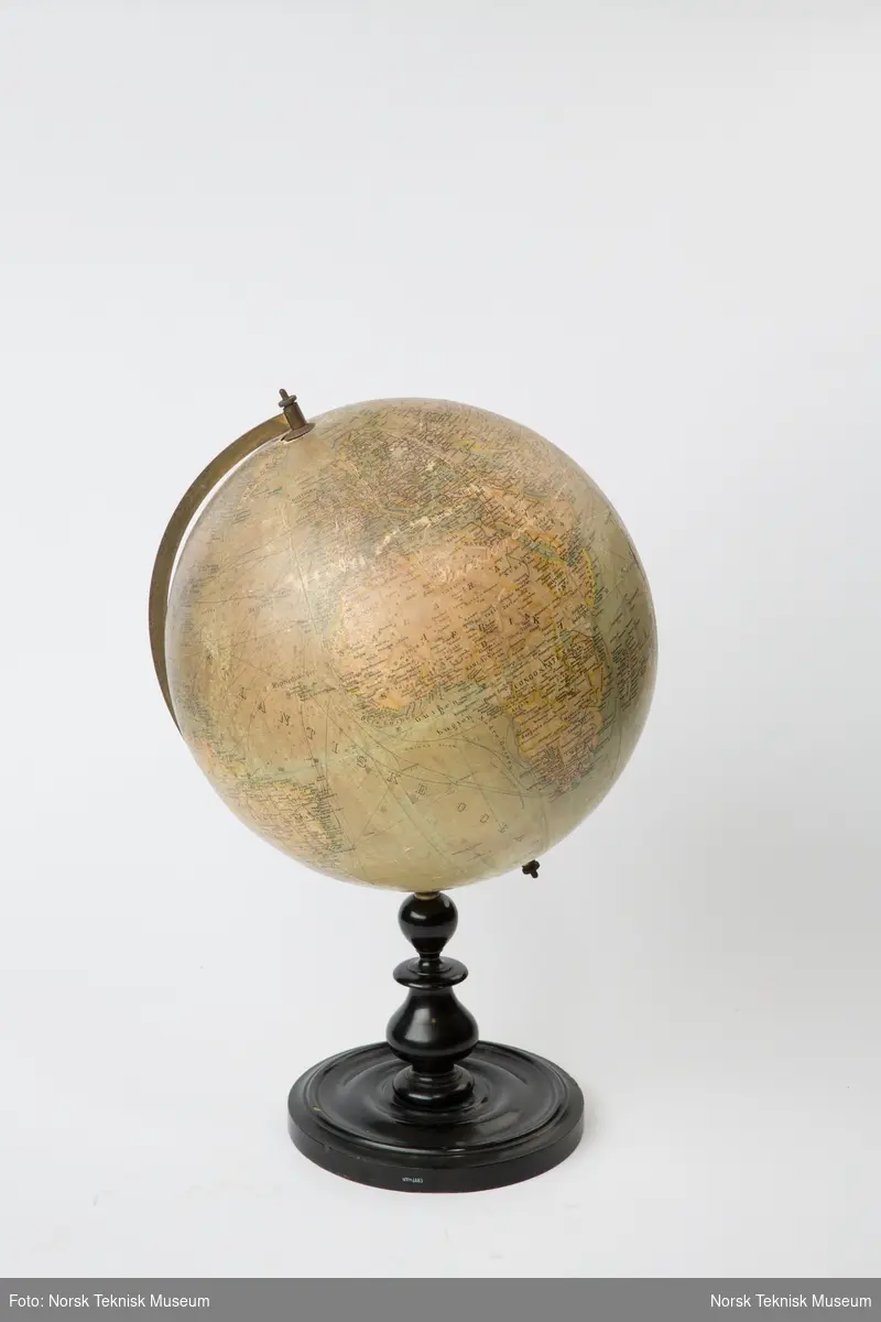
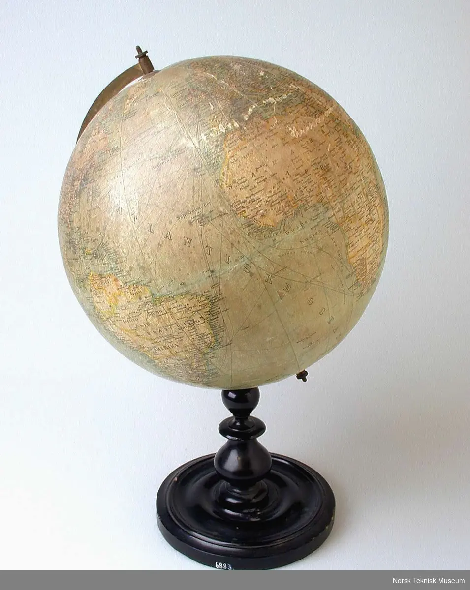
Globus
Utstillingstekst brukt i "Ting. Teknologi og demokrati", 2014-2015:
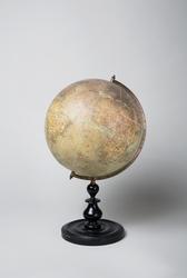
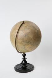
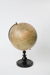
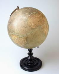
Globus fra ca. 1910 med informasjon om byer, nasjoner og verdensdeler. Det er også tegnet inn havstrømmer og li ...
Utstillingstekst brukt i "Ting. Teknologi og demokrati", 2014-2015:
Globus fra ca. 1910 med informasjon om byer, nasjoner og verdensdeler. Det er også tegnet inn havstrømmer og linjer for handel og kommunikasjon. Linjene på havet viser skipsruter, mens strekene over land viser et verdensomspennende nettverk av jernbanelinjer.
Globe from about 1910 detailing cities, nations and continents. It also has information about ocean currents and has lines for trade and communication. The lines on the oceans show shipping routes, while the lines on land show a worldwide network of railroads.


Add a comment or suggest edits
To publish a public comment on the object, select «Leave a comment». To send an inquiry directly to the museum, select «Send an inquiry».